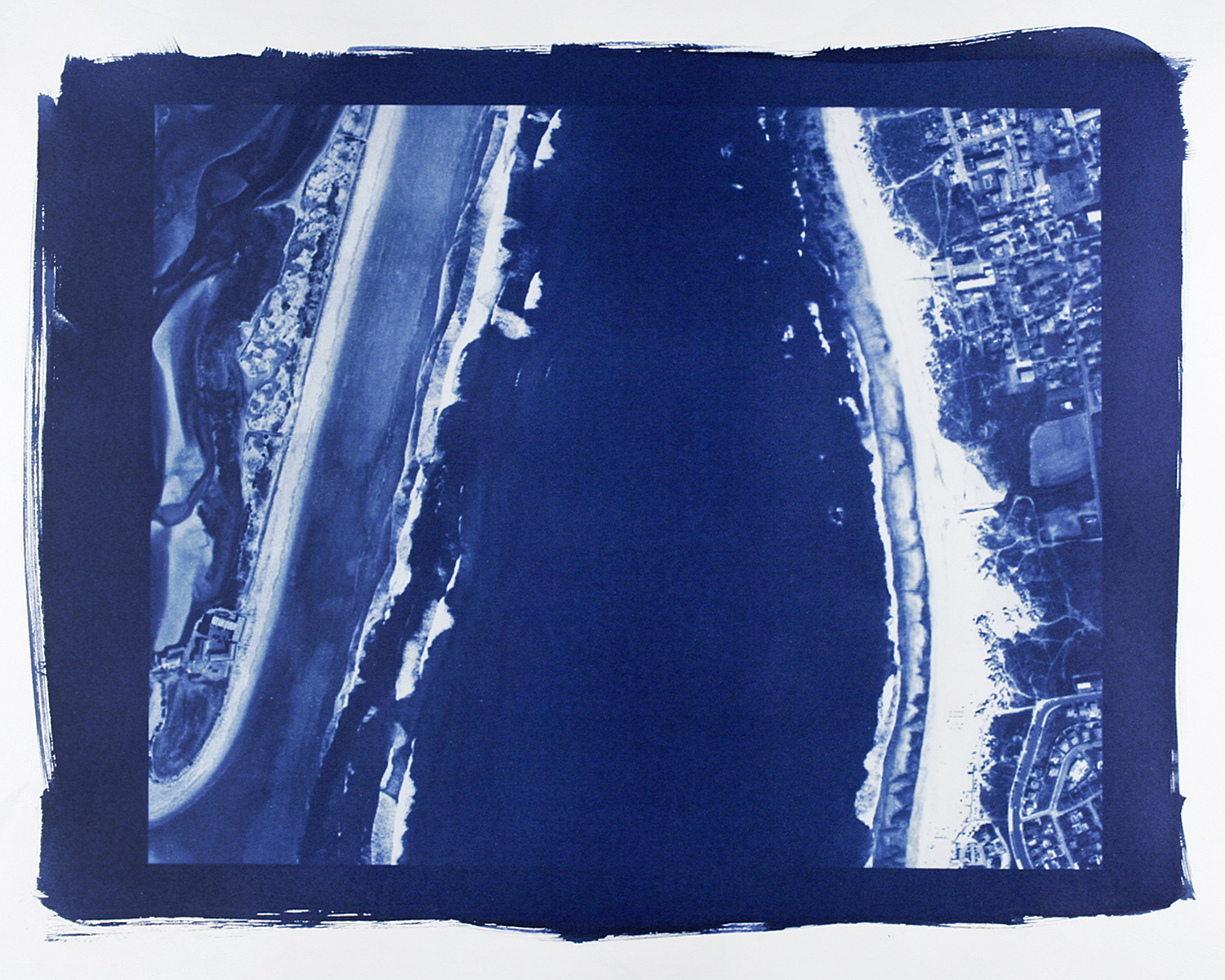
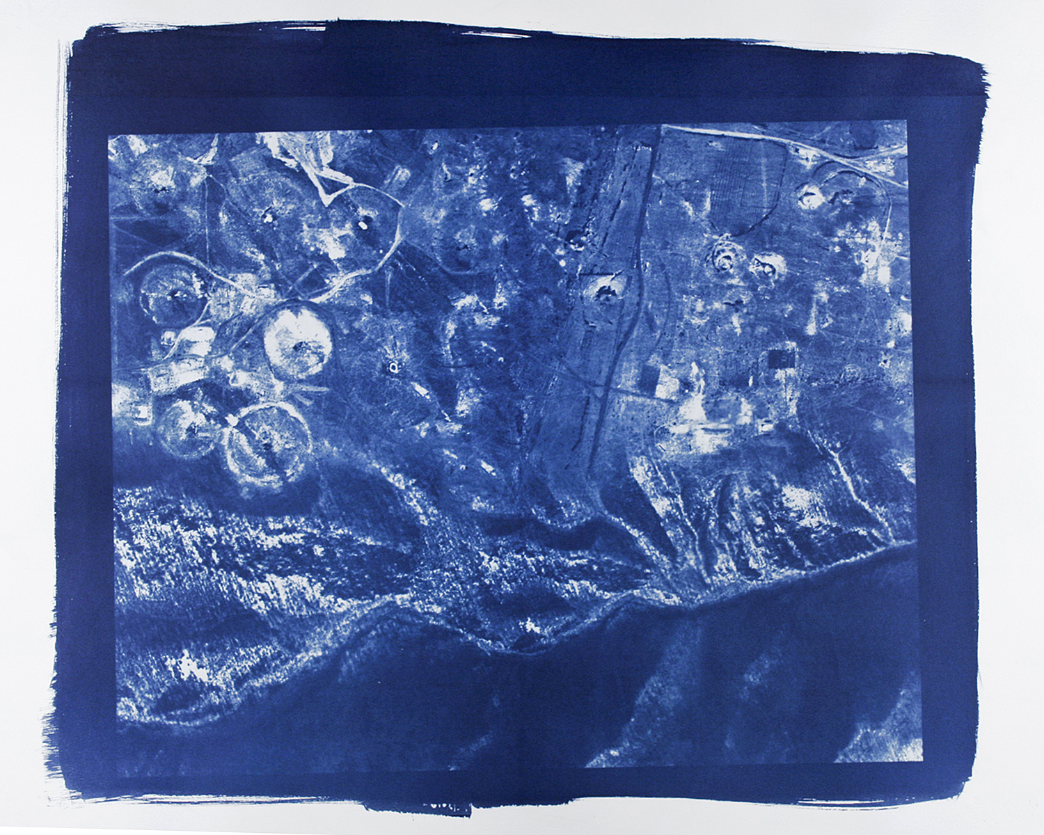
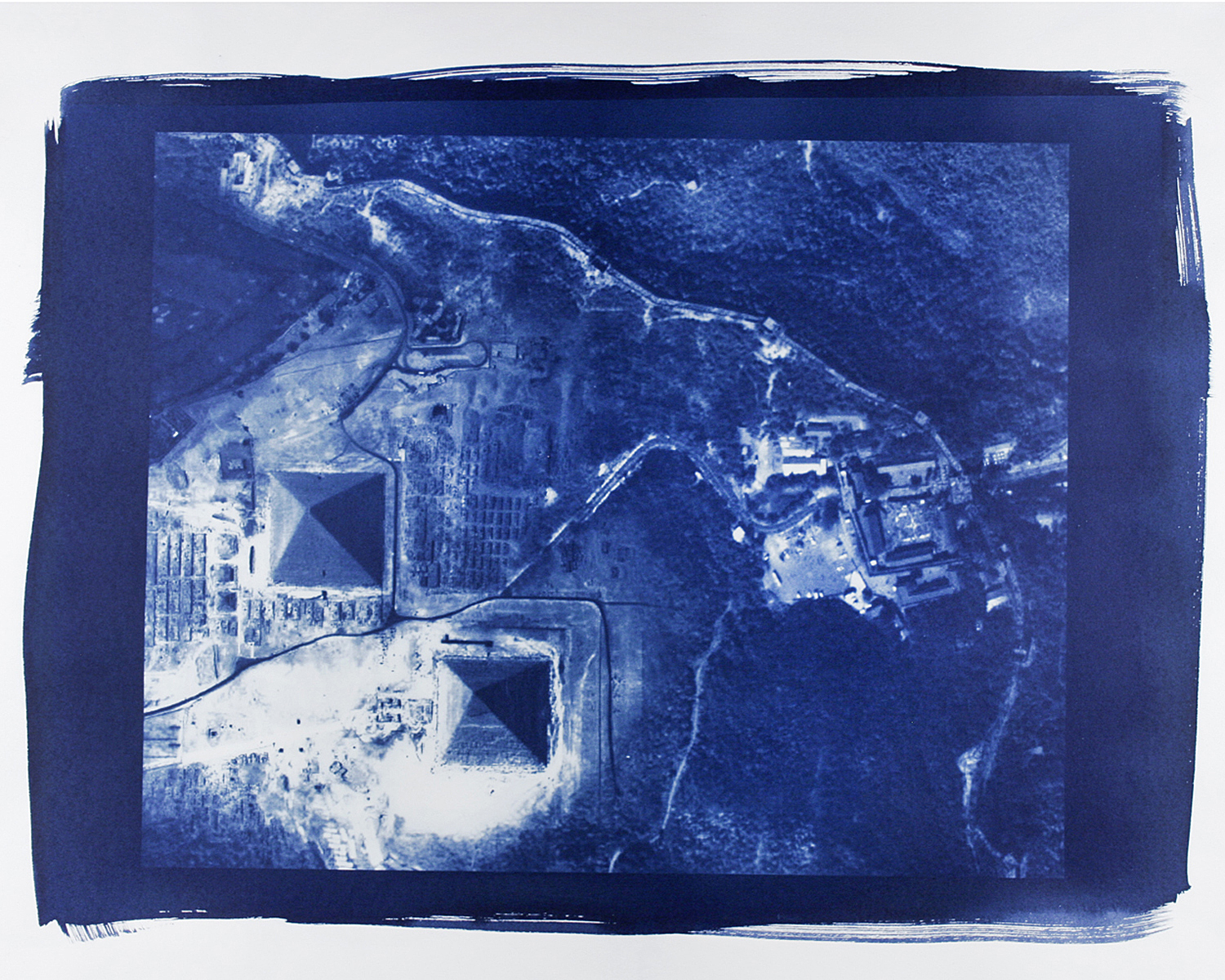
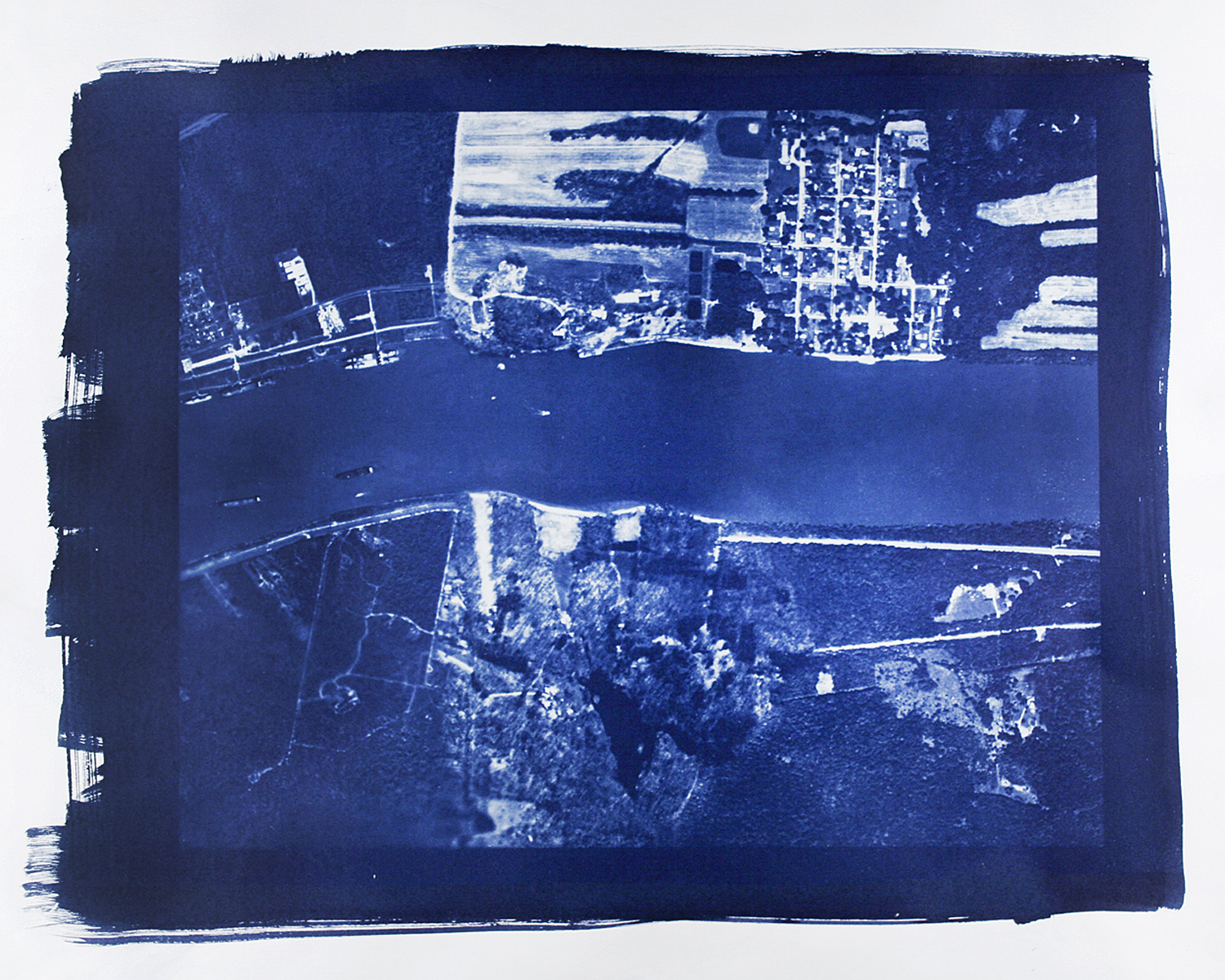
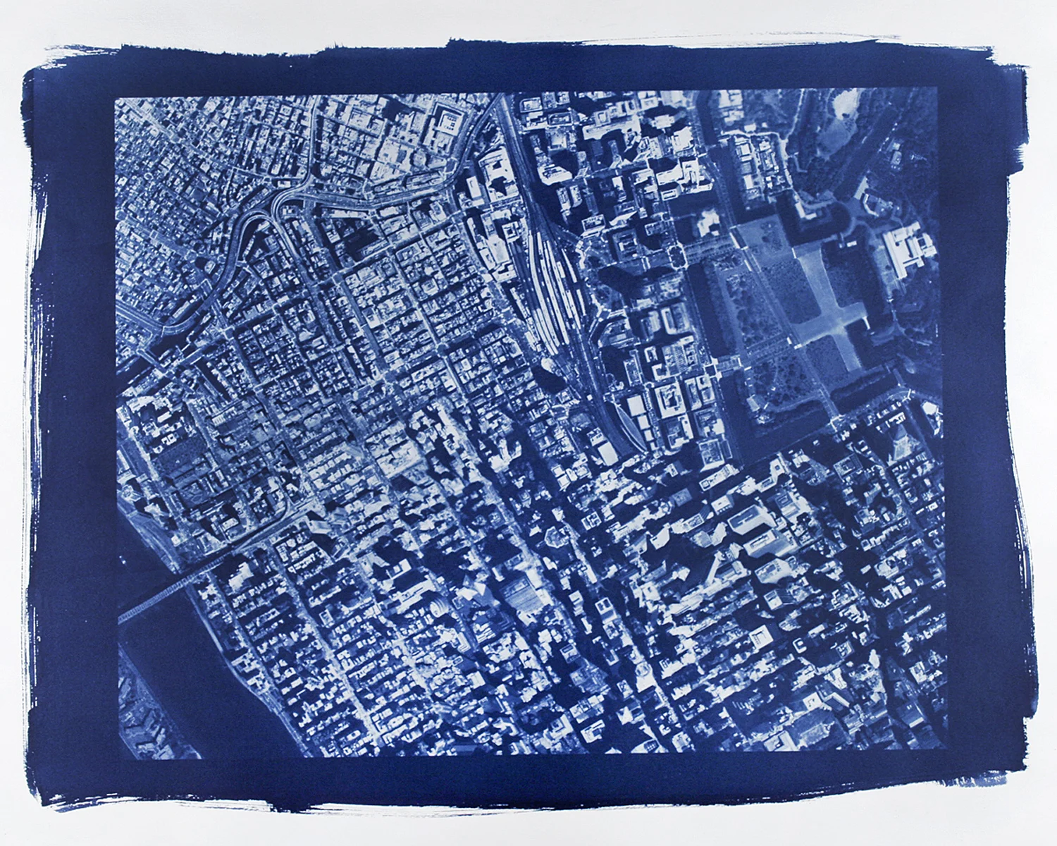
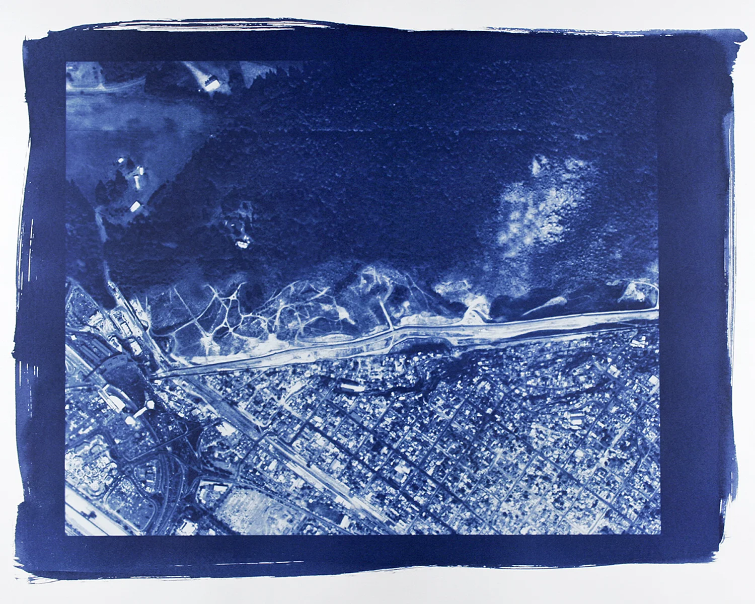
Terratopia II, 2009
In the series Terratopia II, I digitally montage appropriated images to create a new interpreted landscape. While working with large digital negatives, I use the Cyanotype process because of its historical ties to architecture and the blueprint. Revealing a false landscape by manipulating seamlessly meshed satellite photographs of the Earth I mash the borders of Tijuana to Vancouver, Green Zone in Iraq to the Washington Square Mall, and city streets of Manhattan to Tokyo.
These images discuss a sense of dislocation while mountains, cities, and oceans collapse together. As we live in a modern Globalized world connected by the Internet, borders between countries seem more transparent then before. Superimposing these satellite photographs together reveal social, economic, and political boundaries that remain polarized.